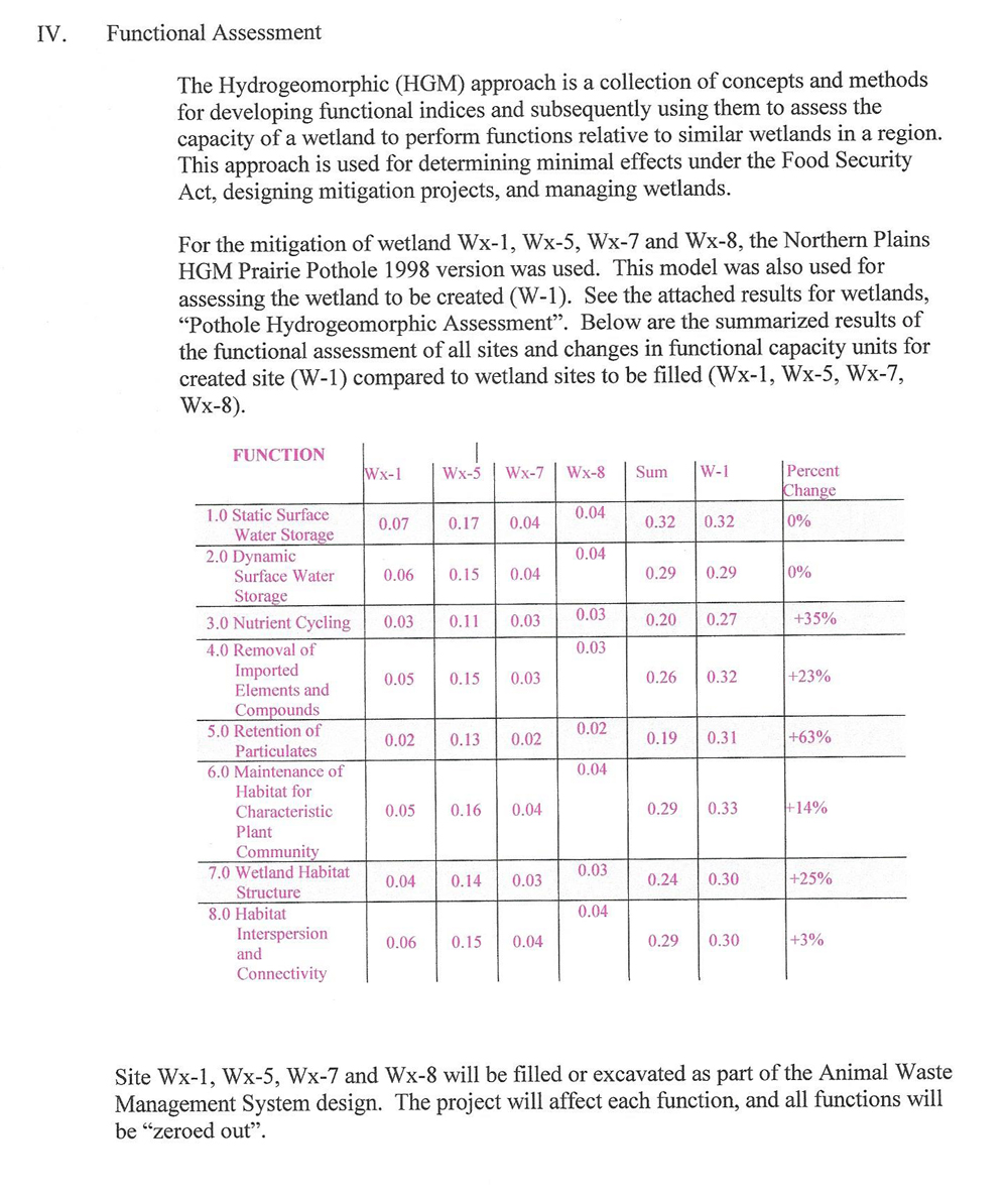
Delineation
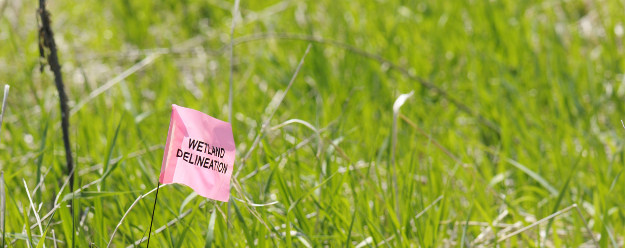
A DETAILED APPROACH TO DETERMINING BOUNDARIES AND JURISDICTIONAL WETLANDS
If your project requires a wetlands delineation, we’re here to help. WSI provides the expertise of its environmental and technical staff who will facilitate the determination of the boundaries of your project’s wetlands. WSI delineates based on the 1987 Manual and USACE (Corps of Engineers) protocols, using industry-standard tools that assists in our efforts to navigate federal, state and local regulations for our clients.
Specifically, WSI provides the following services:
- Delineate and flag wetlands boundaries
- Implement soil sampling and comparisons at each data point
- Compile offsite and onsite data
- Identify aquatic resources
- Perform aerial photo reviews of offsite hydrology
- Gather and synthesize preliminary data
- Assist with Section 404 Nationwide Permit authorization and individual permitting
- Complete jurisdictional waters and wetlands delineations