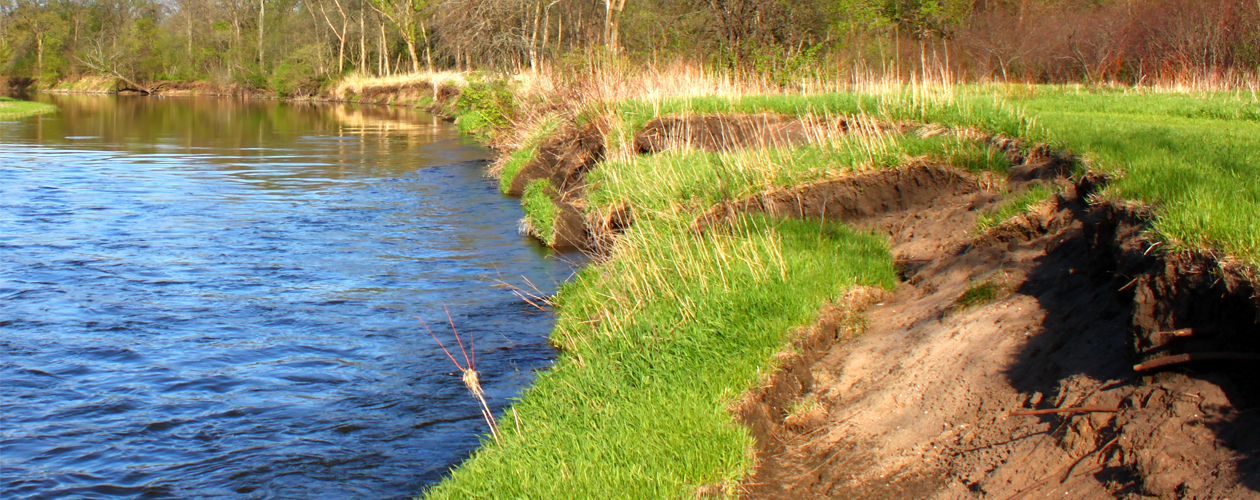
OHWM
WE HELP OUR CLIENTS MOVE TOWARD RESILIENCE
Loss reduction planning is a process that can move your project toward a successful outcome. Long-range strategies, including determining the characteristics of ordinary high water events, are essential in mitigating future water retention and flooding. WSI provides the technical guidance necessary to work with our clients in identifying the physical evidence and indictors of those events, helping to narrow down a location for establishing an ordinary high water mark (OHWM). Understanding and interpreting data enables WSI to confirm and recommend an appropriate site.
Specifically, WSI provides the following services:
- Make OHWM determinations using USACE guidelines
- Work closely with local, state and federal agencies
- Identify unnamed tributaries, named tributaries, creeks and streams
- Provide OHWM determinations using established representative data points
- Create reports using approved Corps of Engineers format